Login for boat- & yachtowners
Request a quote
Report a claim
Get in touch
* Pantaenius UK Limited is authorised and regulated by the Financial Conduct Authority (Authorised No.308688)
As your skipper or charter insurances contracts have been concluded in Germany, you will first be redirected to the website of Pantaenius GmbH, Germany. Please follow the link-button to log in to your account.
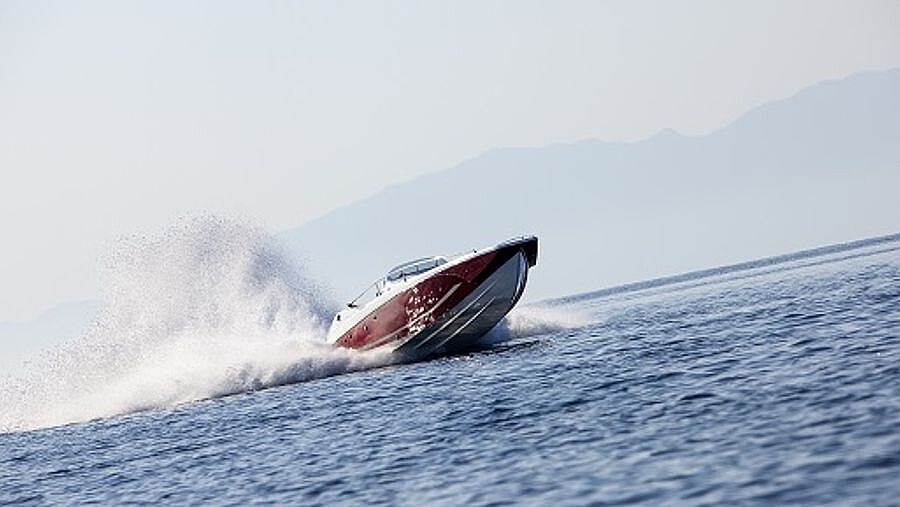
Login Skipper & ChartererOne in six claims at Pantaenius is a grounding-some of which could have easily been avoided. Pantaenius expert and sailing instructor Timo Elfes provides tips and tricks for cruise planning and navigation.
Navigation starts long before you get on board. Before every trip, it is a good idea to find out about the conditions at your destination and along the route with the help of an area guide: Are there any special conditions such as shallows, tides, restricted areas or fluctuating water levels? Many publishers offer sailing guides with detailed nautical information. Alternatively, you can consult the websites of the relevant authorities to get a rough overview.
The closer you get to your trip, the more detailed your preparations should become. For every voyage - even on inland waterways - you need the appropriate nautical charts. Today, nautical charts are available in both digital and analogue formats. For some regions, special watersports atlases are available in a handy format that takes up less space. Make sure they are up to date! Fairways and shallows can change, wrecks and other obstacles can be added, buoys and landmarks can be replaced. Only up-to-date nautical charts provide reliable information. This is especially true for tidal areas.
It is advisable to additionally use local sources of information. Nautical charts for leisure boats are basically a by-product of commercial shipping. This means that the remote waters that are of particular interest to water sports enthusiasts may be less well charted than harbours, canals and fairways. You should therefore ask local professionals who may know their way around. Harbour masters, fishermen, sailing instructors and boat charter companies know their areas best and are also aware of temporary and local weather phenomena.
Redundancy is essential for safe navigation. Even on short charter trips, there should always be at least two types of nautical charts on board. Virtually every smartphone has a GPS receiver that can be turned into an electronic chart using the appropriate apps. Unfortunately, the battery life is greatly reduced by this function, which can lead to accidents. A paper chart should therefore always be on board. This also applies to your own boat with a permanently installed plotter. A tablet or smartphone as an additional aid can always fail.
With electronic nautical charts, it is important to ensure that the chart section set on the plotter is zoomed in as much as possible. This is the only way to see all the shallows in the area. Many important details disappear at lower zoom levels. Incorrectly operated plotters are a frequent cause of groundings reported to Pantaenius. Even professionals are not immune: In 2014, Team Vestas Wind ran aground on a reef during the Volvo Ocean Race due to such a navigational error.
Electronic navigation can be affected by, for example, a disrupted GPS signal or a failure of the on-board electronics. However, this must not lead to disorientation of the skipper. This is why, even in the 21st century, it is necessary to enter your position on the chart at regular intervals. At the latest when electronic navigation fails, it is necessary to be able to determine your position on the water by analogue means. To do this, you need to be able to take simple bearings.
A simple cross bearing basically consists of two bearings on known and stationary objects. These must be marked on the nautical chart. The result of a bearing is a bearing line. In a cross bearing, two bearings are taken in quick succession. The closer object should be taken first and the more distant object second. The angle of these two bearings should be between 30° and 150° in order to obtain a clean intersection of the bearing lines. In practice, two methods of bearing have proved particularly useful.
In order to take a cross bearing using a side bearing, point the bow straight ahead at a target on land. Now take a bearing to a second target on the side of the ship. If you do not have a bearing disc, there is a simple alternative: Take a bearing using a component installed at a right angle (90°) to the centreline of the ship, and wait until a specific object lies exactly on that bearing. The position is then determined by the intersection of the course line and the bearing line drawn at right angles through the object on the chart.
To find the position by bearing and sounding, you also sail towards a target and read off the course to the target from the compass. The second step is to check the depth sounder. As soon as it shows a depth line on the chart, you can check your position on the chart with just one bearing and this information.
With either method, it is important to remember to adjust the compass course (CC) for deviation and deflection before entering it as the true course (TC) on the chart. As always, it is a good idea to practise these procedures regularly in everyday situations so that you know what to do in an emergency.